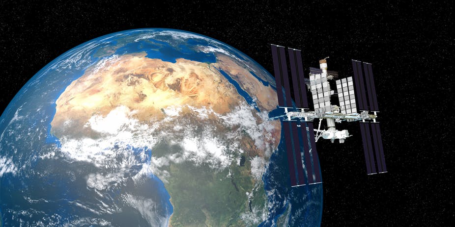
It will be important to use Copernicus’s copious data to properly advise smallholder farmers and to help guide pest monitoring efforts across the continent.

African scientists are about to get unprecedented access to enormous amounts of satellite data. This is thanks to a deal signed by the African Union with the European Commission’s Copernicus programme, which describes itself as the world’s third largest data provider. Scientists say that data generated by Copernicus’s satellites includes digital imagery of vegetation, soil and water cover, sea and land surface temperature, and weather patterns. All of this information can help African countries tremendously. With the right data and careful analysis, the continent can address its declining soil health, as well as the threats of climate change and invasive insect pests such as the fall armyworm. Read more

